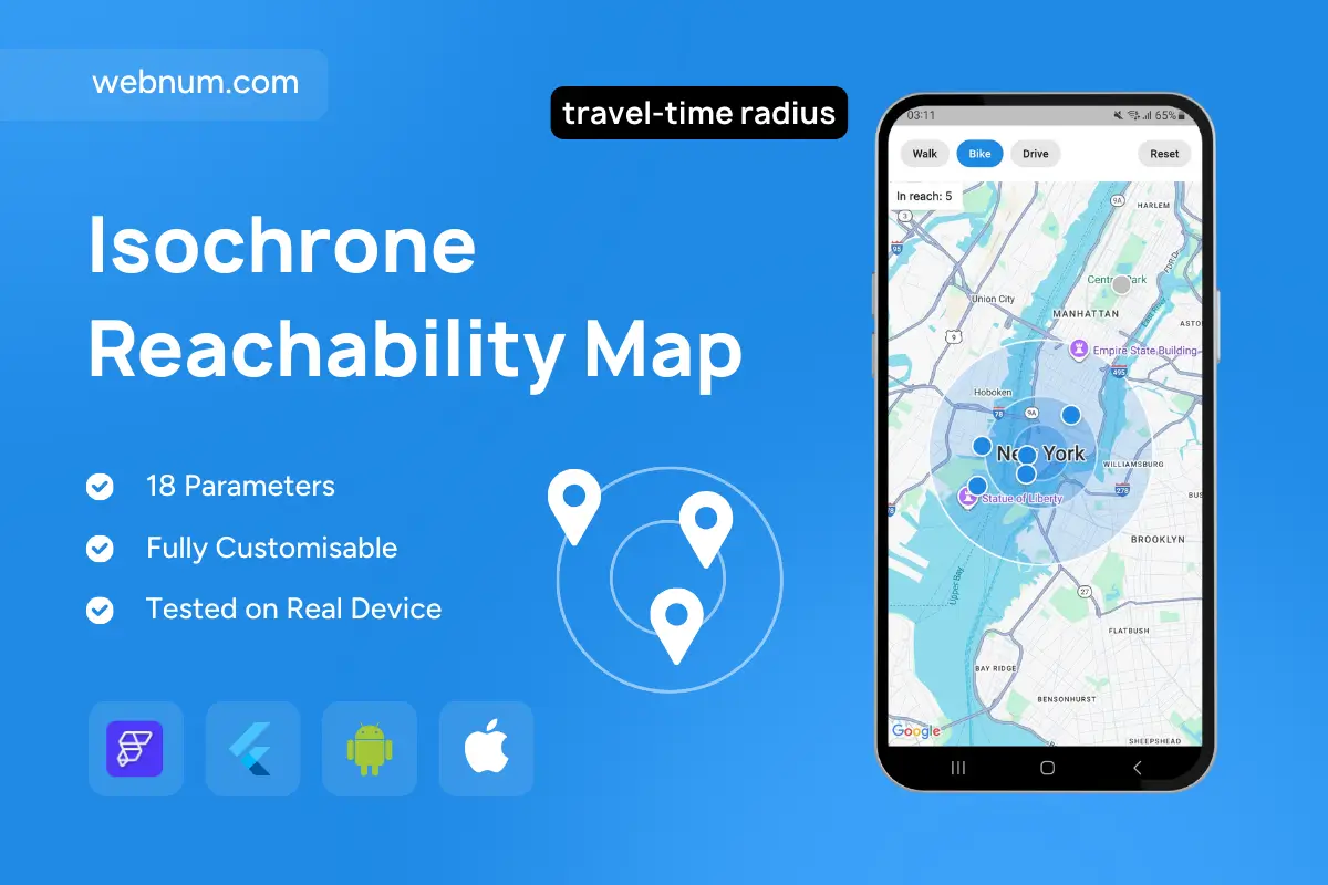
Isochrone map widget — an interactive map that draws travel-time reach rings ⏱️🗺️ around the user and shows how many places are within reach 🚶♀️🚴♂️🚗. Switch between Walk, Bike, and Drive to instantly update coverage, surface only relevant POIs, and open a rich place card with quick actions (🎯 Center/Focus, 🧭 Route).
Functionality
-
🔘 One-tap mode chips (Walk/Bike/Drive) with mode-specific speeds & dynamic radius.
-
🟢 Concentric reach rings visualize coverage; live in-range POI counter.
-
📍 Marker clustering; tap to open a bottom sheet with name, photo, address + actions (🎯 Focus / 🧭 Route / ➕ Center).
-
📡 Works from current GPS or any map center; 🔄 Reset to clear overlays.
-
🎨 Smooth pan/zoom updates; adaptive light/dark styling.
Use cases
-
☕ “What’s within 15 minutes?” discovery for cafés, museums, gyms, etc.
-
🏠 Real-estate search: walkable/bikeable neighborhoods around a listing.
-
🌆 City guides & travel apps for local exploration.
-
🛒 Service coverage checks (courier radius, store catchment).
-
🎟️ Event planning: find venues reachable by attendees without long travel.
Keywords: isochrone map widget, reachable area, travel-time radius, drive-time polygon, walkability, bike radius, catchment area, poi clustering, bottom sheet, route action, geospatial filter, coverage rings, flutterflow custom map widget, accessibility map, proximity analysis